East of Abita Springs, LA
3755 +/- acres Timberland, Hunting, Mitigation Credit Income in St. Tammany Parish, LA
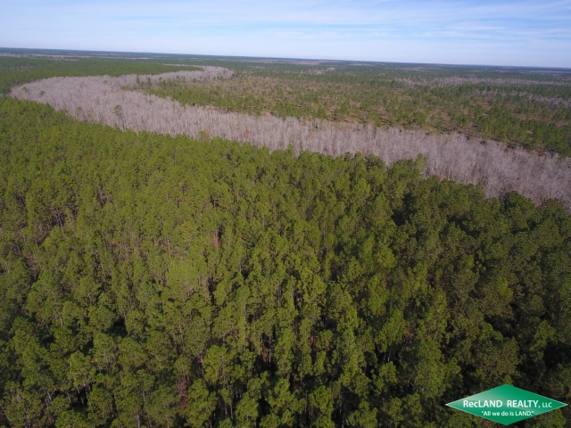
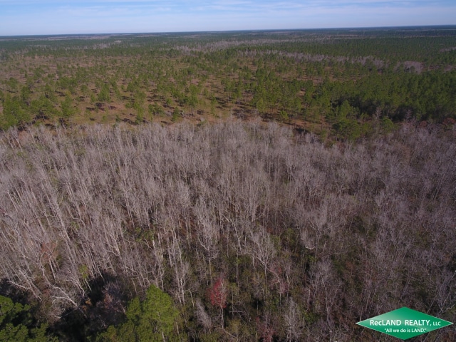
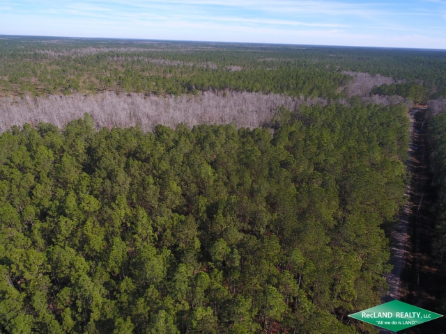
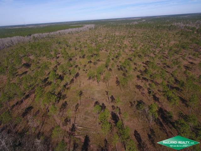
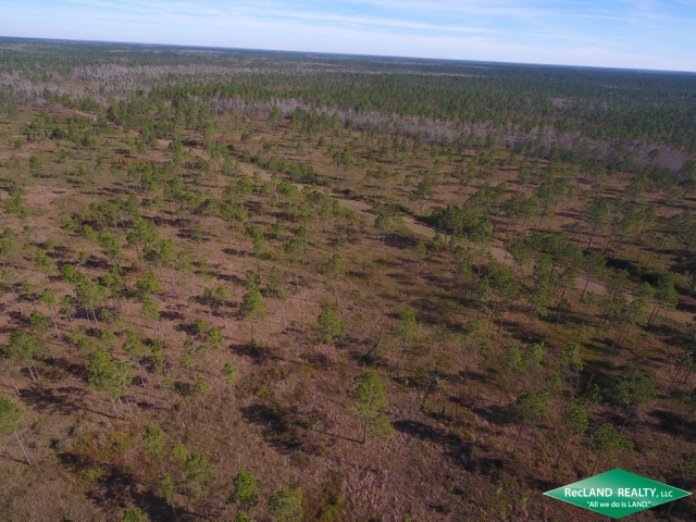
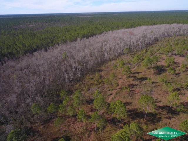
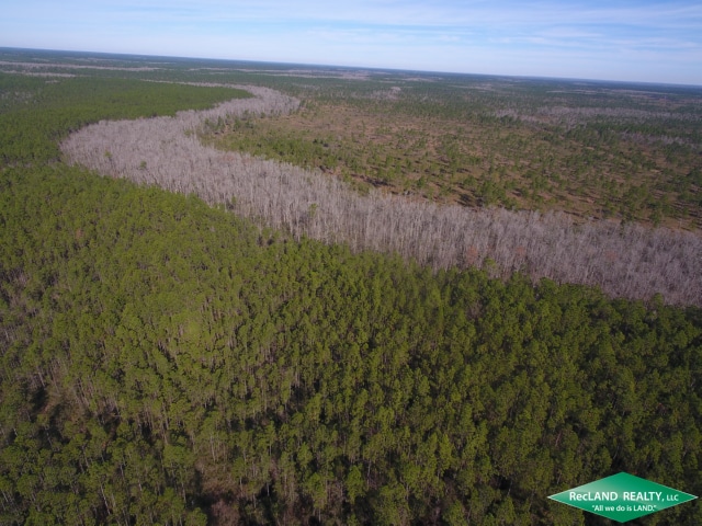
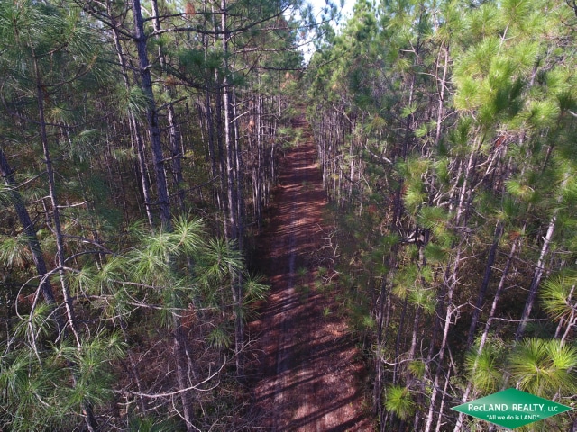
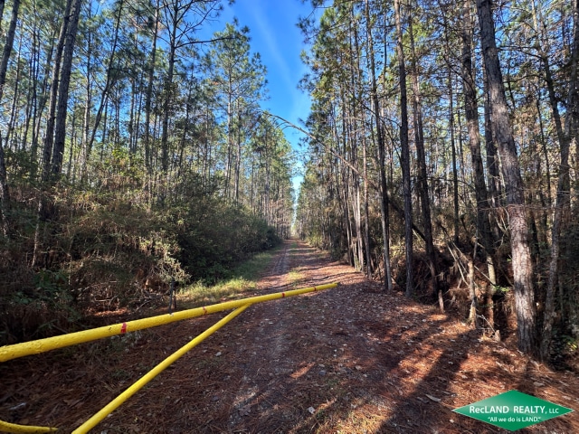
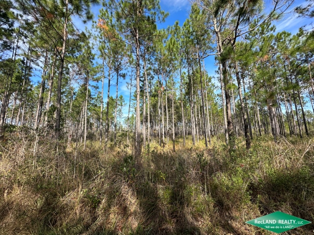
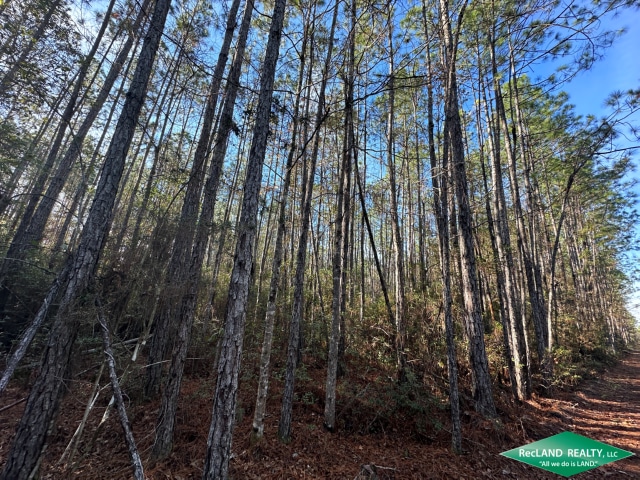
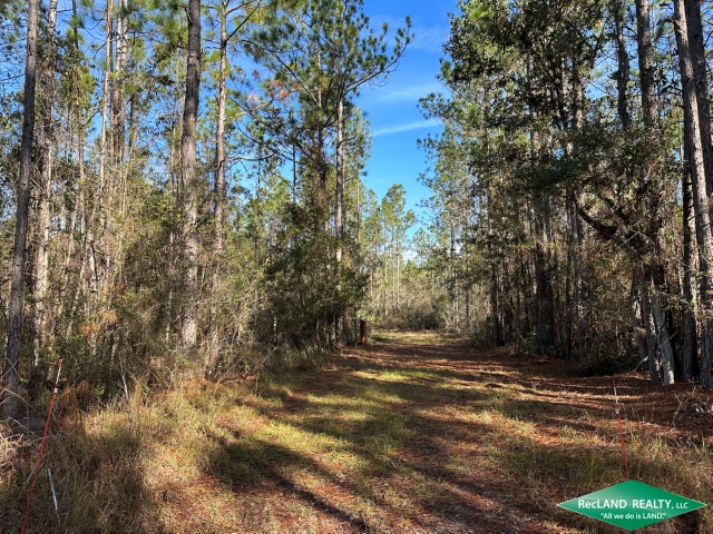
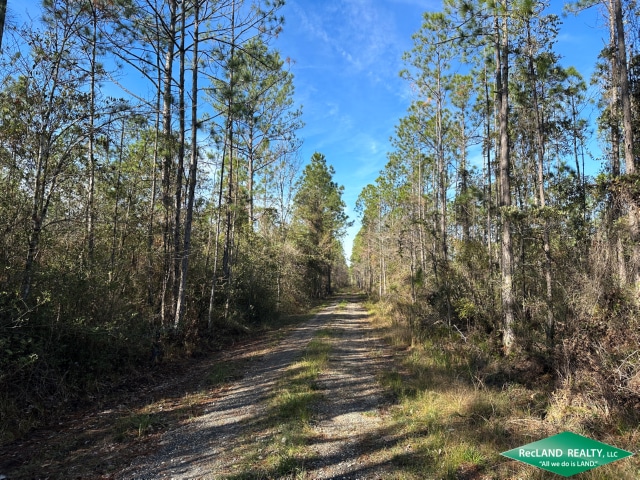
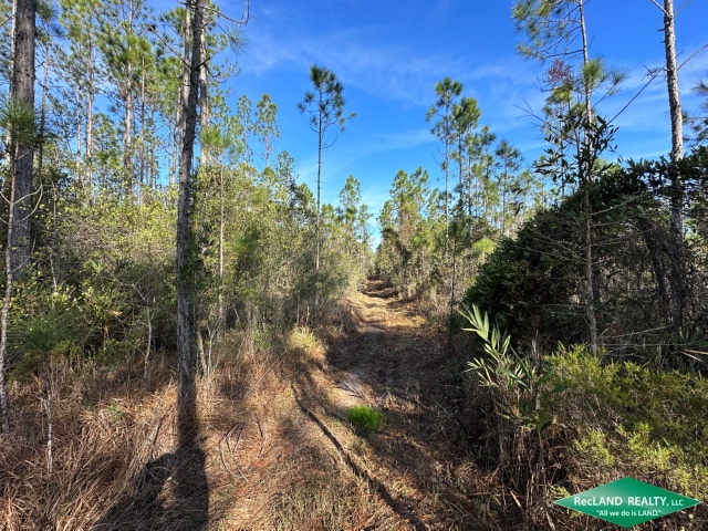
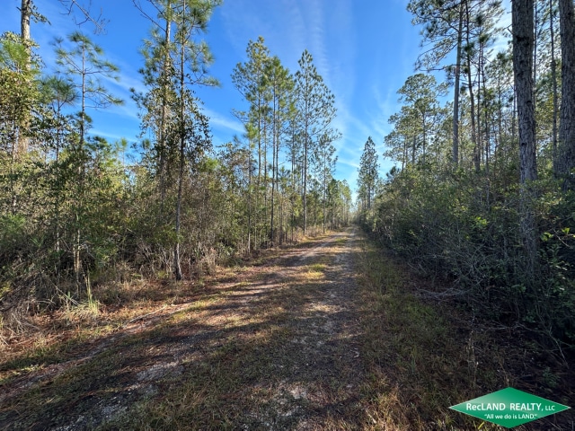
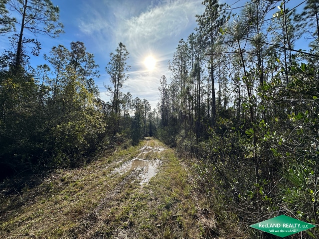
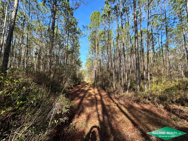
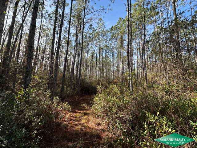
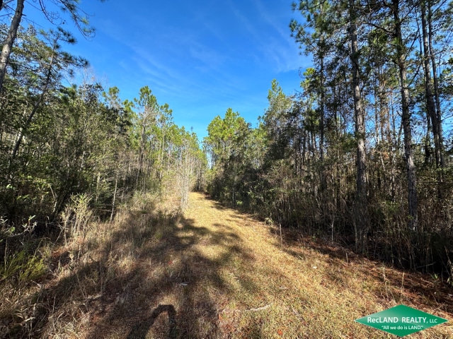
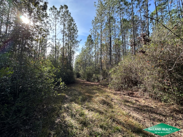
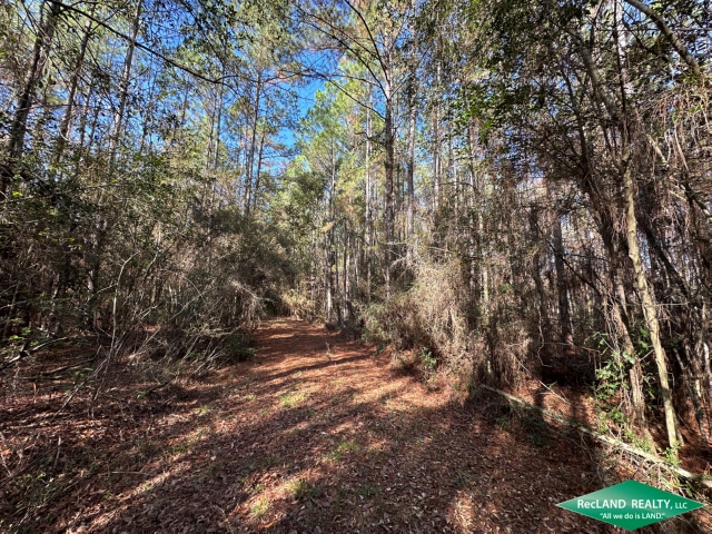
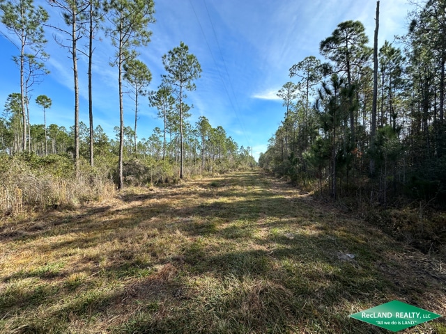
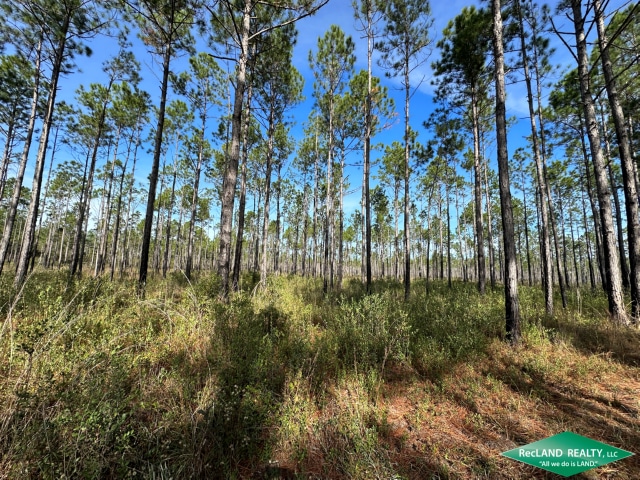
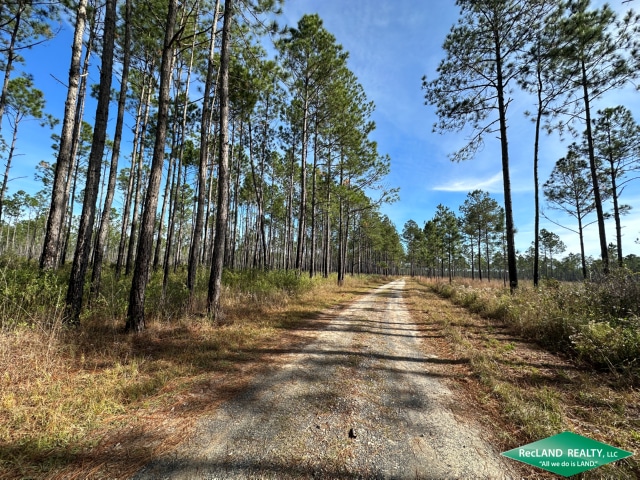
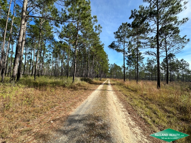
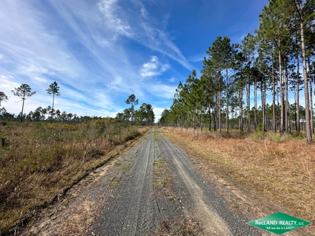
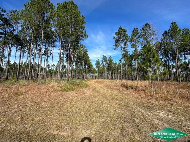
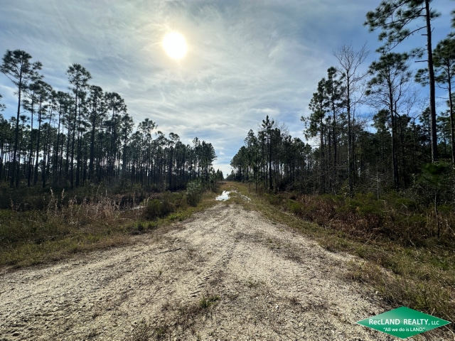
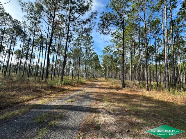
The Bayou Lacombe Timberland & Mitigation Area is approximately 3,755 acres along the upper Bayou Lacombe basin in Saint Tammany Parrish, Louisiana. The property features 3,340 ± Upland Acres (89%) and 415 ± Wetland Acres (11%) with mitigation credits available to sell. Several natural sloughs run through the property, creating exceptional biodiversity and movement of game such as deer, turkey, and hogs. The property contains excellent fire lanes and internal access roads for ease of management and navigation.
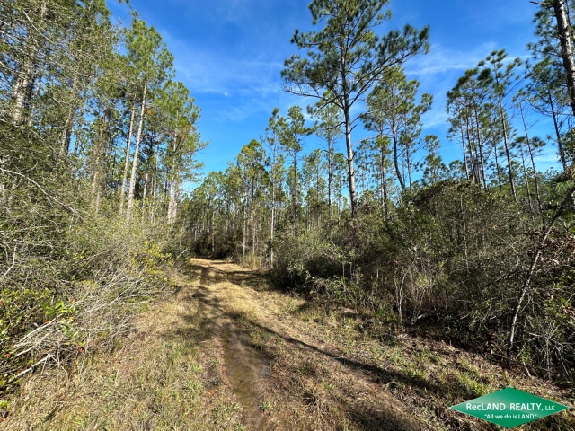
The majority of the site was converted to pine plantation and managed for pine production historically. The site was last clearcut between 1993 and 1995 but was not mechanically replanted. Since then, it has been restored to pine flatwoods, savannahs, bayhead swamps, and associated habitats.
Surface elevations range from 45 feet to 55 feet and the land is generally level with natural sloughs providing variations in the topography. Soil types include Latonia fine sandy loam, Myatt fine sandy loam, Myatt fine sandy loam, frequently flooded, Guyton silt loam, and Guyton silt loam, occasionally flooded. Approximately 2,891 acres (77%) are considered to have hydric soil and 864 acres (23%) are non-hydric.
The property is located on the north shore of Lake Pontchartrain and lies between the Pearl River Basin to the east and the Tangipahoa River Basin to the west. Small streams flow through the property and drain into Lake Pontchartrain. The streams are subject to daily tidal fluctuation near their confluence with Lake Pontchartrain. The surface waters of the lower ends of these streams are fresh to brackish depending upon the season and the amount of rainfall received.
Named for the pearls found by French explorers at the mouth of the river in the late 1600s, the Pearl River basin has a rich history and biological diversity. Centuries of human interactions continue today, as the Pearl is a popular location for angling and boating.
The Bayou Lacombe Timberland & Mitigation Area is adjacent to the Money Hill Conservation Easement held by The Nature Conservancy. Nearby conservation areas also include the Bogue Chitto National Wildlife Refuge, Pearl River State Wildlife Management Area, Fontainebleau State Park, St. Tammany Wildlife Refuge, and Big Branch Marsh National Wildlife Refuge on the north shore of Lake Pontchartrain.
6 ± Miles West to Abita Springs
8 ± Miles East to Pearl River
10 ± Miles West to Covington
13 ± Miles South to Lake Pontchartrain
36 ± Miles South to New Orleans
Mitigation Area Goals and Objectives
The goal of STMS is to restore, enhance, and maintain productive wetland ecosystems that functionally compensate for unavoidable impacts associated with Department of the Army (DA) Section 10 and/or 404 permits issued by NOD. In keeping with this goal, an integrated restoration plan has been formulated that sets forth the specific objectives for reestablishing natural hydrology, surface topography, and floral communities, and defines performance standards, monitoring protocol, and remedial actions.
Agreement with the U.S. Army Corp of Engineers:
The conservation servitude shall run in perpetuity with the land;
A. There shall be no placing, filling, storing, or dumping of refuse, trash, vehicle bodies or parts, rubbish, debris, junk, waste, or other such items on the property.
B. There shall be no commercial, industrial, agricultural, or residential uses of the property without written authorization from the NOD.
C. There shall be no mechanized land clearing or deposition of soil, shell, rock, or other fill on the property without authorization from the NOD.
D. There shall be no cutting, removal, or destruction of vegetation on the property except in accordance with the timber management plan and control of exotic pest species specified in the agreement and permits which may be required from the NOD at the time the cutting is proposed.
E. There shall be no grazing of cattle or other livestock on the property.
G. All other activities, which are inconsistent with the establishment, maintenance, and protection of wetlands within the mitigation area and which are not subject to Corps of Engineers regulatory authority, are prohibited
Access: Primary access is at the south end from Cedar Island Road. Other routes may be available on the east side and northwest corner along existing roads that cross adjacent landowners.
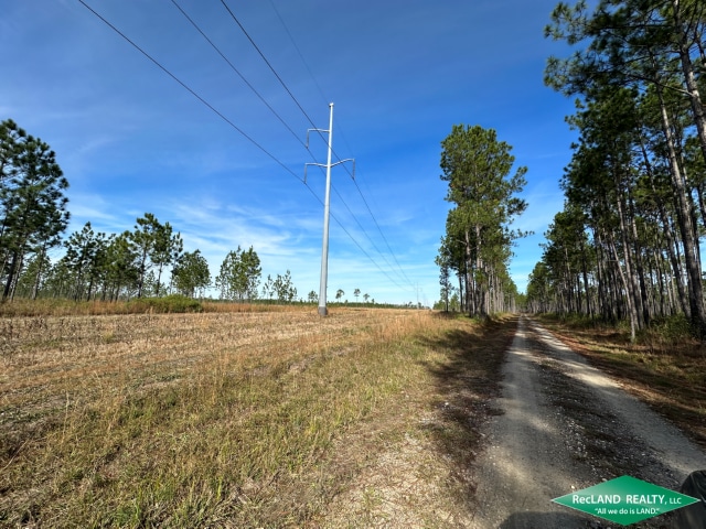
Utilities: Electricity available at the south end.
Location: Situated east of Abita Springs on Cedar Island Road. Locked gates require showing by appointment only.
Legal Description: Situated in several sections in T6&7 South, Range 13 East, St. Tammany Parish, LA
Mineral Rights: Mineral status TBD and/or negotiated.
Asking Price: $9,387,500 ($2500 / ac)
NOTE: Buyer’s Agents please see the RecLand site for information regarding commission.
*** Text LALand to 888.465.2659 to get alerts of our new TX land listings. ***
Call Andrew Palmer at 985.778.8080
Sign up to receive text updates by entering your cell number and entering the word "LALand" or "TXLand" or "ARLand" (you get the point!) in the Notes section. You must send each state you want as a separate entry. Currently offering LA, AR, MS, TX, MO text alerts.
318.281.4900
office@recland.net
410 Olive Street, Monroe, LA 71201
RecLand Realty, LLC is a licensed land broker in Louisiana, Arkansas, Mississippi, Texas, Iowa & Missouri. We specialize in selling hunting land, timber land, farms & ranches. Please give us a call to discuss how we can help you buy or sell land.


Notice to buyer's representative: RecLand has a history of fairly cooperating with other brokerages. And in an effort to continue this cooperation without issue, the following policy is in place for any buyer's agent: Any buyers agent, if applicable, must be identified on the first contact with RecLand, and/or any of its agents, and must be present at the initial showing of the listed property with the prospective real estate investor - unless another agreement / arrangement is reached with the RecLand listing agent - in order to participate in RecLand's real estate commission. If this condition is not met, any fee participation from the RecLand commission will be at the sole discretion of RecLand Realty.
The information provided on this site has been obtained from various sources and is believed to be accurate. The accuracy of said information is not guaranteed by RecLand Realty, LLC or its independent real estate agents. Maps shown are for illustration purposes only. All acreages are to be verified by prospective buyer. Prospective buyers are encouraged to consult with their own attorneys, tax professionals, surveyors and others to verify all information to their satisfaction before making an offer on any property listed on this site. The owners of any property listed on this site reserve the sole right to change any and all terms of sale at any time without notice.
RecLand Realty, LLC, its employees and independent real estate agents make no warranties, guarantees or claims regarding any services offered, promised or contracted with any party offering its services or leases through RecLand Hunting & Outdoors. Customers are to research each company or person offering services or leases and make their own determination as to fitness, service, and reliability. Neither RecLand Realty, LLC, nor its employees or independent real estate agents, have any financial or personal interest or ownership in any company, lease or service advertised on this site other than receiving a fee for posting the information contained herein. Each company, service and lease is responsible for the accuracy of the information posted herein and on all promotional material and websites that may be linked to the promotional material contained herein.
Information About Brokerage Services - Texas